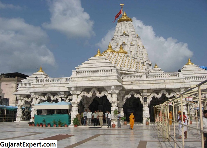
Ambaji Location

Ambaji is a tiny town in the Banaskantha district of the state of Gujarat. The principle attraction of Ambaji is the glorious Ambaji temple which draws thousands of devotees each year. The town of Ambaji is one of the 51 Shakti Peeth Tirthas. The hilly zones of Aravalli ranges and deep forests accentuate the beauty of Ambaji and makes it very attractive for devotees and pilgrims.
Reaching Ambaji by Road
Ambaji enjoys good connectivity via road to many major cities like Mount Abu (50 km), Udaipur (172 km) Ahmedabad (175 km), Dwarka (620 km), Gir (520 km) and Palanpur (60 km). Many options of bus services are available to these places. Other places having good connectivity to Ambaji are Jodhpur, Surat, Ankleshwar, Vadodara etc.
Reaching Ambaji by Air
The closest airport to Ambaji is Sardar Vallabhai Patel International Airport that is located at 180 km from Ambaji. This airport connects Ambaji town with many major cities and towns of the world. It is possible to hire a taxi from the airport to reach Ambaji.
Ahmedabad is a busy commercial spot apart from being the capital city of Gujarat. Lots of conveyance options are available from Ahmedabad Airport to Ambaji. It is possible to get a taxi from the airport to reach the town of Ambaji at quite reasonable cost. Daily flights from Delhi and Mumbai run to Ahmedabad.
Reaching Ambaji by Train
Ambaji is very well connected by local trains both from Gujarat and Rajasthan as it shares a border with both states. Abu Road Station is the nearest Railway Station to Ambaji and it is at a distance of 20 km. this railway station has good connectivity to most important towns and cities. Taxis and other modes of conveyance are available from this station to Ambaji at very low cost.
There are many stations that are connected to Ambaji like Hyderabad, Agra, Amakulam, Mysore, Alleppey, Varanasi, Munnar, Goa, Amritsar, Lonavala, Amritsar, Kolkata, Jaisalmer, Chandigarh, Udaipur, Chennai, Gurgaon, Shimla, Jodhpur, Mahabaleshwar, Srinagar, Bangalore, Jaipur, Pune, Manali, Wayanad, Coorg and Mumbai.
Route Map and Distance Guide of Kedarnath
Ambaji’s distance from the following major Indian Cities
- Mumbai to Ambaji (701.9 km)
- New Delhi to Ambaji (762.2 km)
- Bengaluru to Ambaji (1664.6 km)
- Chennai to Ambaji (2019.8 km)
- Hyderabad to Ambaji (1366.4 km)
- Kolkata to Ambaji (1959.0 km)
- Ahmedabad to Ambaji (173.5 km)
Ahmedabad to Ambaji Route Map
North on Ashram Road towards Sheth Mangaldas (0.5 km) to right on Nehru Bridge (0.6 k.m) to Khanpur Road (0.3 k.m) to Airport Road (3.0 k.m) to Airport Road Pass by ISCON Villa (1.9 k.m) to Bhat Cir 3rd Exit (1.6 km) to Raksha Shakti Cir (2nd Exit on Gandhinagar Ahmedabad Road) to Indroda Cir (2nd exit into CH Road Pass) to Indroda Cir (2nd exit into CH Road Pass by Gandhinagar Office) to CH 6 Yuva Chetna Cir (3.1 km) to Gandhinagar Vijapur Road (36 k.m) to T.B Road (1.9 k.m) to Maharishi Bungalows (34 k.m) to GJSH 56 Pass (24.7 km) to Ambaji Highway Danta Road (24 km).


Leave a Reply